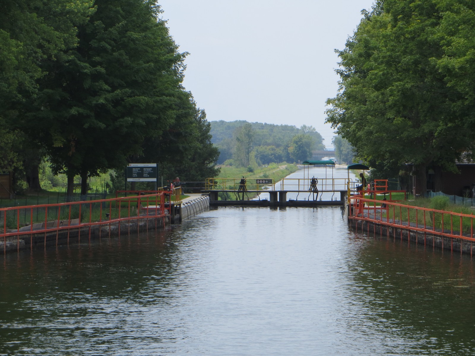
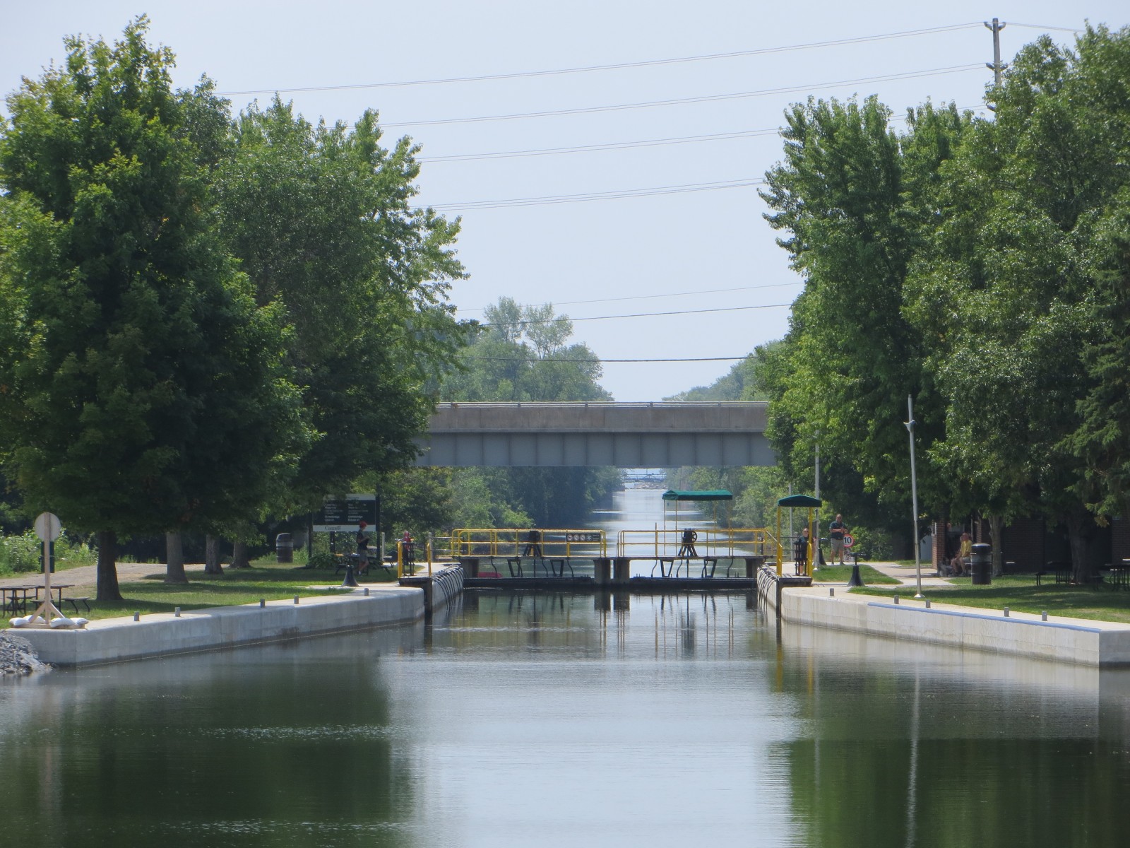
We had a bit of a late start leaving Sunset Cove Marina now heading down the Trent Canal and girded ourselves to pass through 5 locks within 4.5 miles connected by very narrow channels, barely big enough for two boats to pass each other. The sides of the canal are visible underwater and look to be unforgiving rough rock through which this canal was blasted more than one hundred years ago.
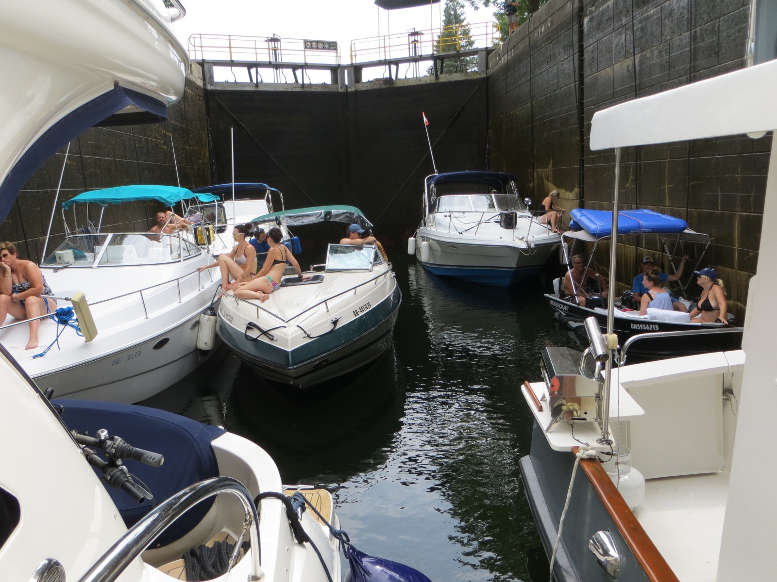
The locking was fairly routine, except that we had 6 other boats with us the whole flight of locks down to Lake Simcoe. We were first in the lock way up front by the sill and a gray wooden trawler with at least a 16-foot beam was placed next to us. With our 14-foot beam and their width, there was barely a foot or two between us – not much room for error. The remaining boats were all small craft of less than 25 feet, but were packed in very close behind us – so close that their bows threatened to bump into our swim-platform.
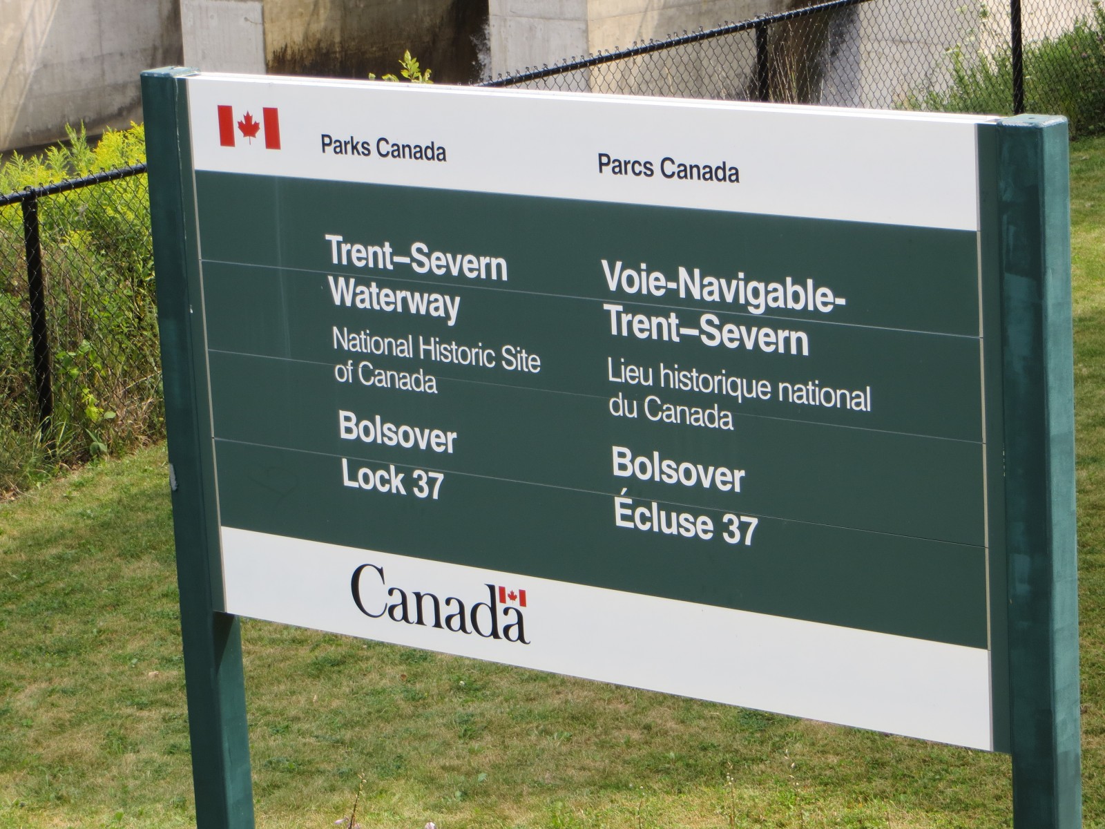
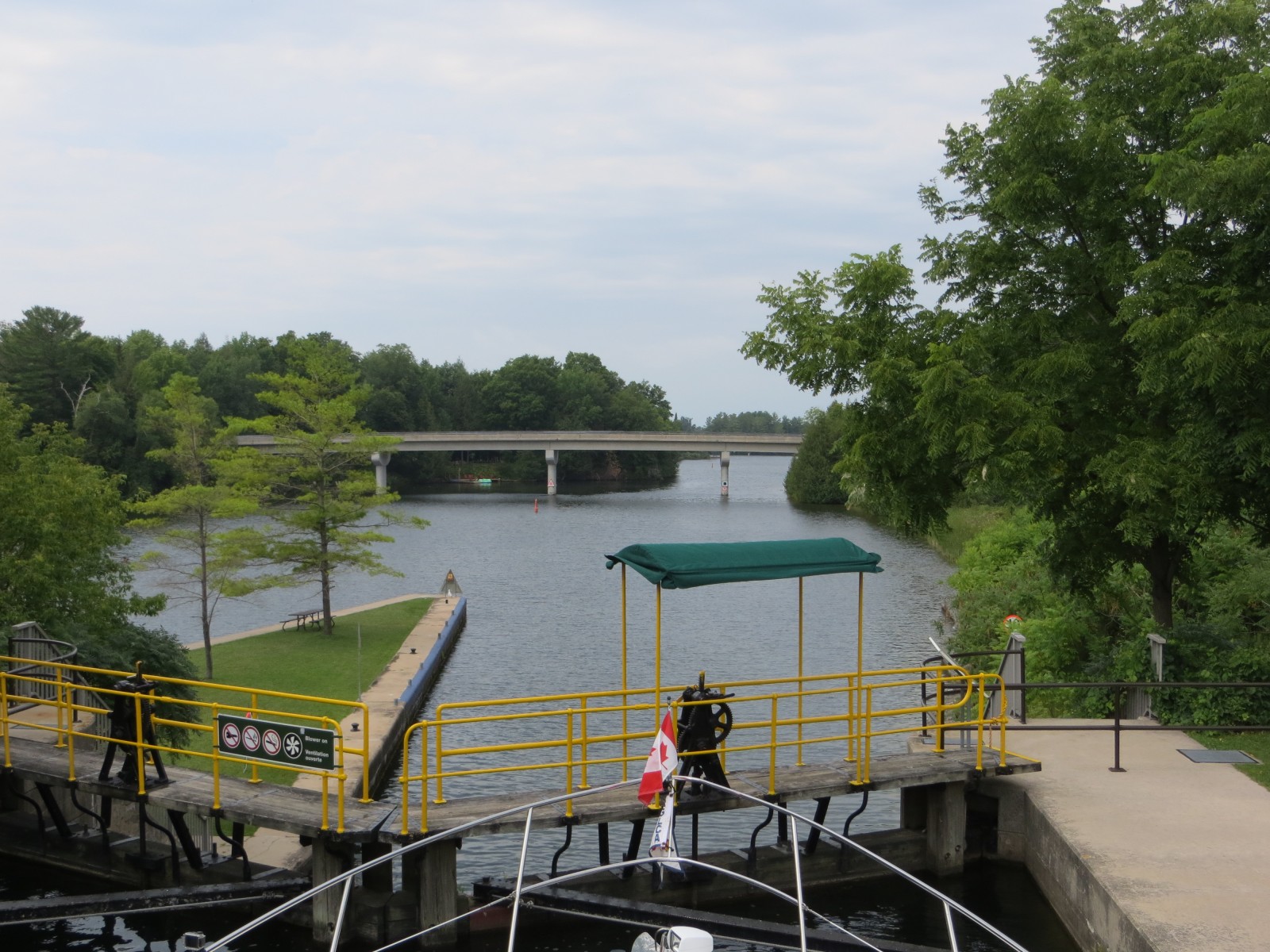
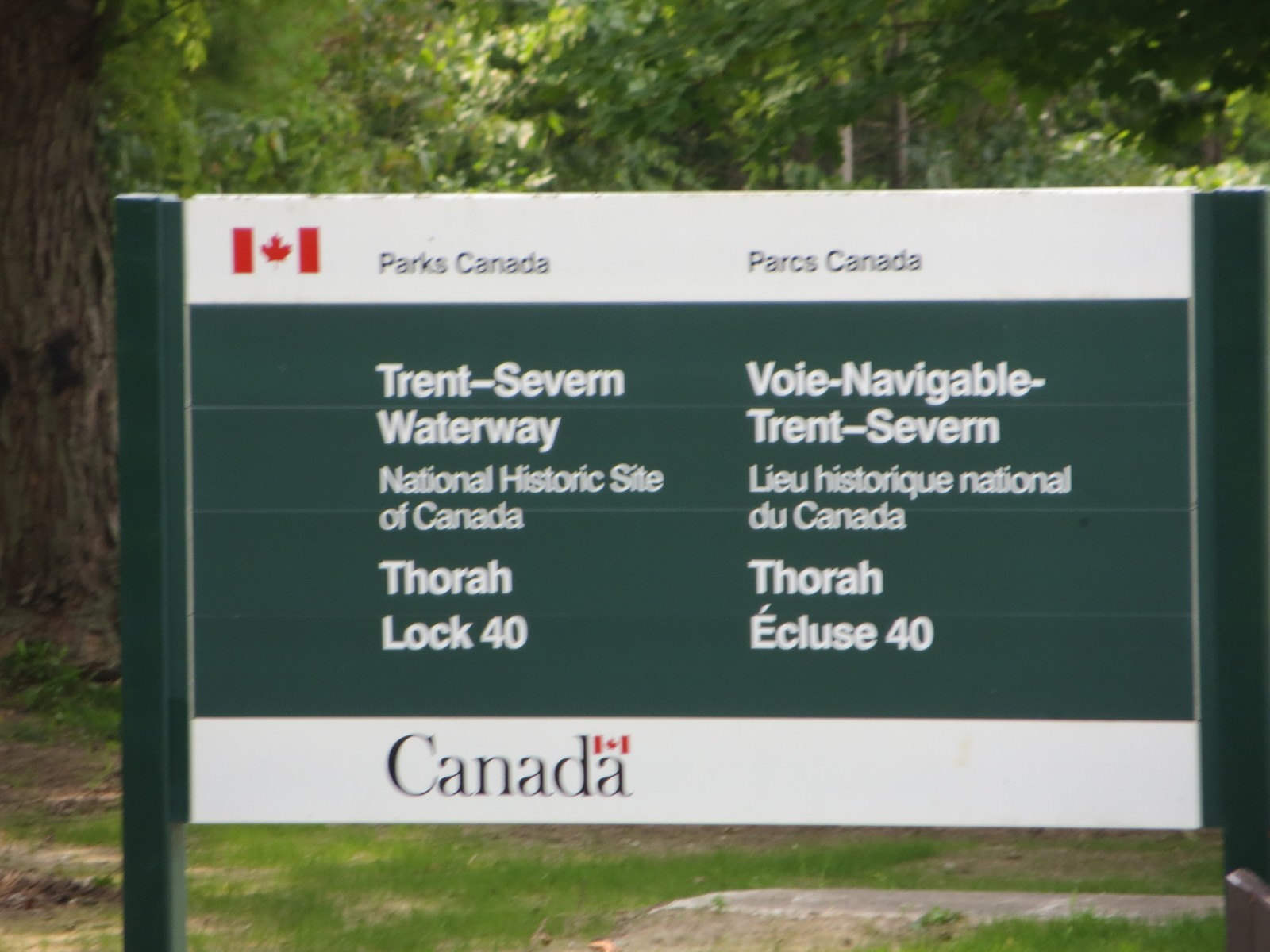
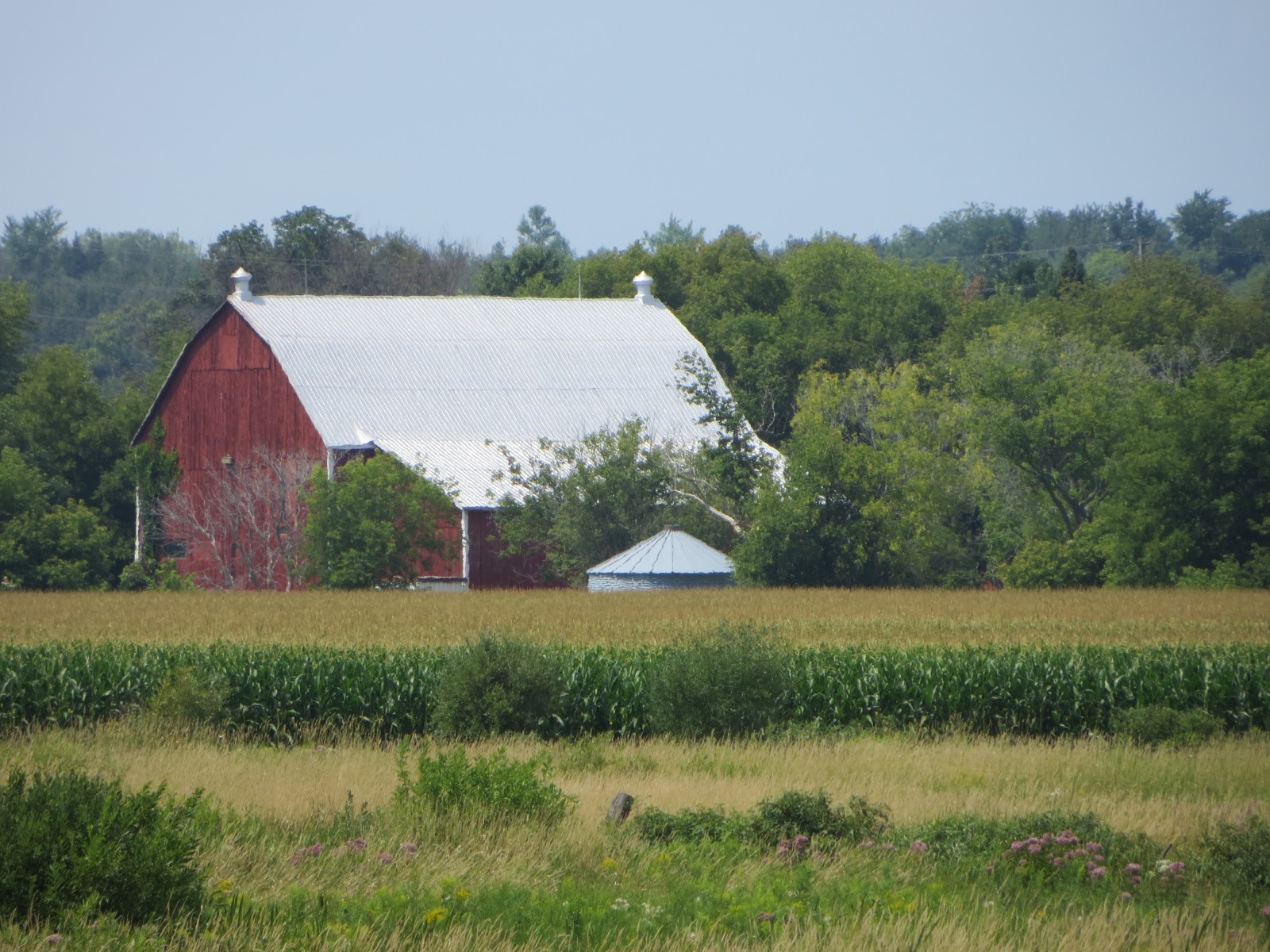
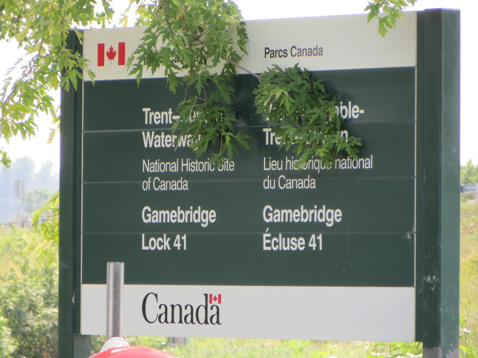
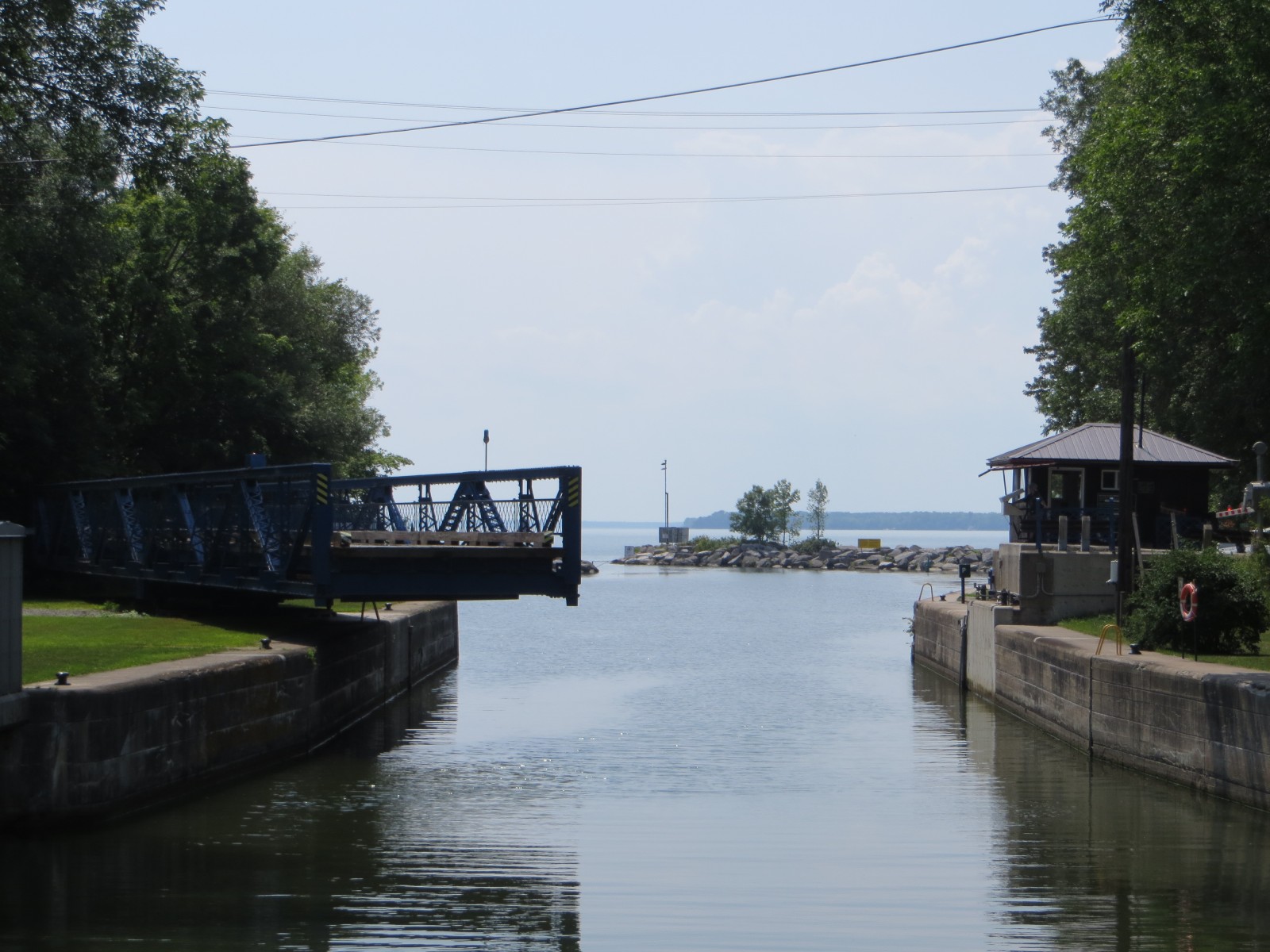
In this manner, all 7 boats passed through Bolsover Lock 37 (down 22 feet), Talbot Lock 38 (down 14 feet), Portage Lock 39 (down 13 feet), Thorah Lock 40 (down 14 feet) and Gamebridge Lock 41 (down 10 feet) – with two swing bridges thrown in. It took nearly three hours for us to arrive at the mouth of the Trent Canal and enter Lake Simcoe. The monotony of this stretch of waterway however was broken up by attractive pastoral landscape - farms, fields, horses and cows.


We were warned about Lake Simcoe. All the waterway guidebooks and random folks we met told us to take special care when traveling on Lake Simcoe. This was not because it was deep but because of the unpredictability and changeability of the weather on the lake. There was an ominous sign unlike any we’d seen before as we entered the lake of its treacherous nature.

The weather heretofore had been breezy with winds less than 10 knots, but there were repeated warnings of squalls on the lake coming over the VHF radio as well as in the mobile maritime weather apps. Upon entering Lake Simcoe, perhaps it was the concern, but this lake seemed different. Unlike the other lakes we had passed through in the Kawartha Lakes region, this lake was not deep blue surrounded by trees – rather this day it had a peculiar bright aquamarine color blending into the hazy horizon with no land in sight and water smooth as glass. It is the biggest lake on the Trent-Severn system, but it looked as if we were traveling over smooth Bahamian waters for the first half of our transit across the lake.

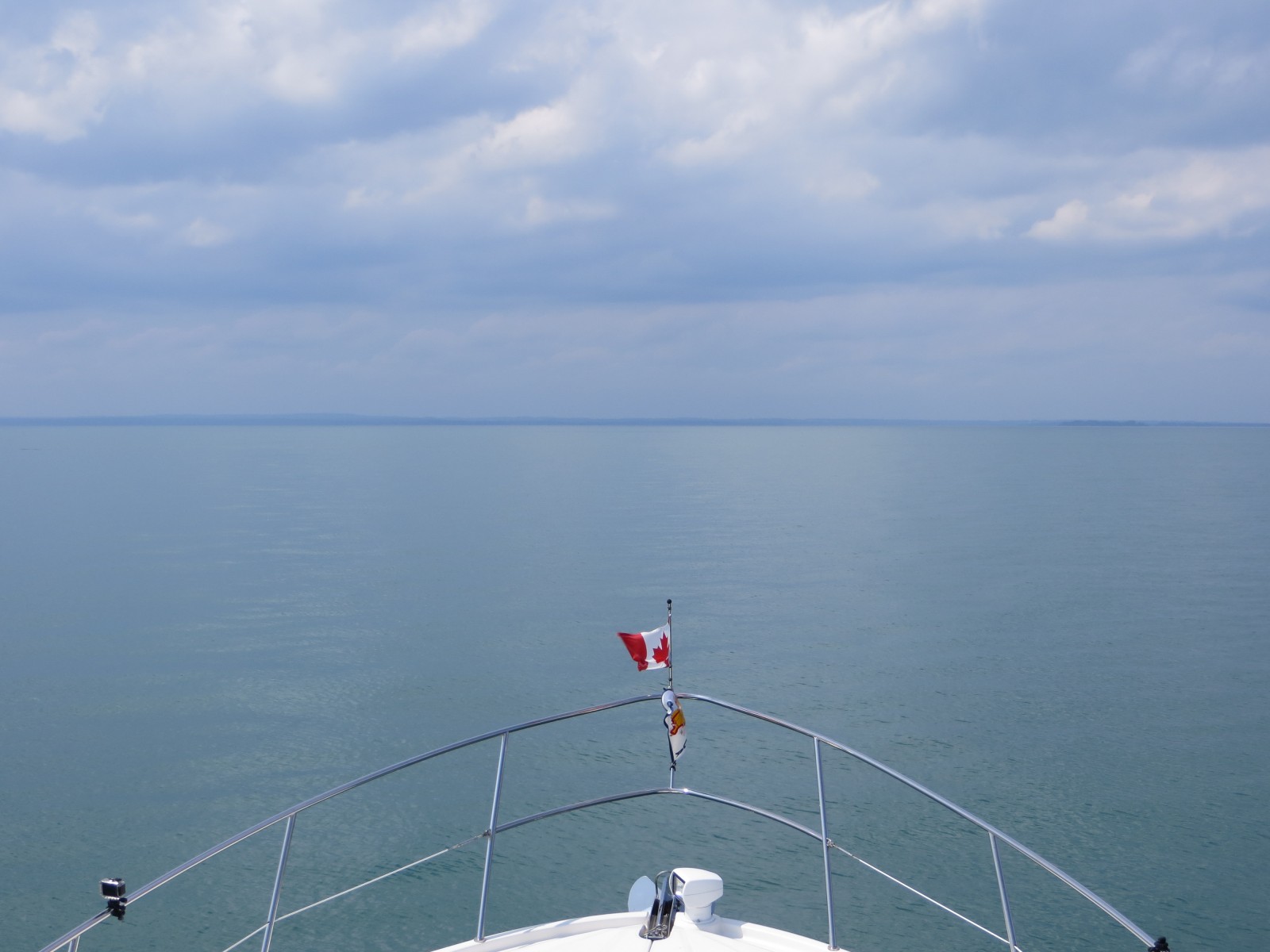
The wind started to build up and the clouds took on a darker hue on the second half our our trip across. Strangely the waters then turned a dark blue very suddenly and waves began to appear building up to 2 foot with whitecaps. Luckily we were within sight of the opening the Narrows – the entrance to Lake Couchiching where our marina for the night was located. The change in aspect of the lake and the weather all happened within thirty minutes – and although we did not encounter a squall – we felt we were duly warned of the unpredictability of being on large bodies of water in mid-summer.
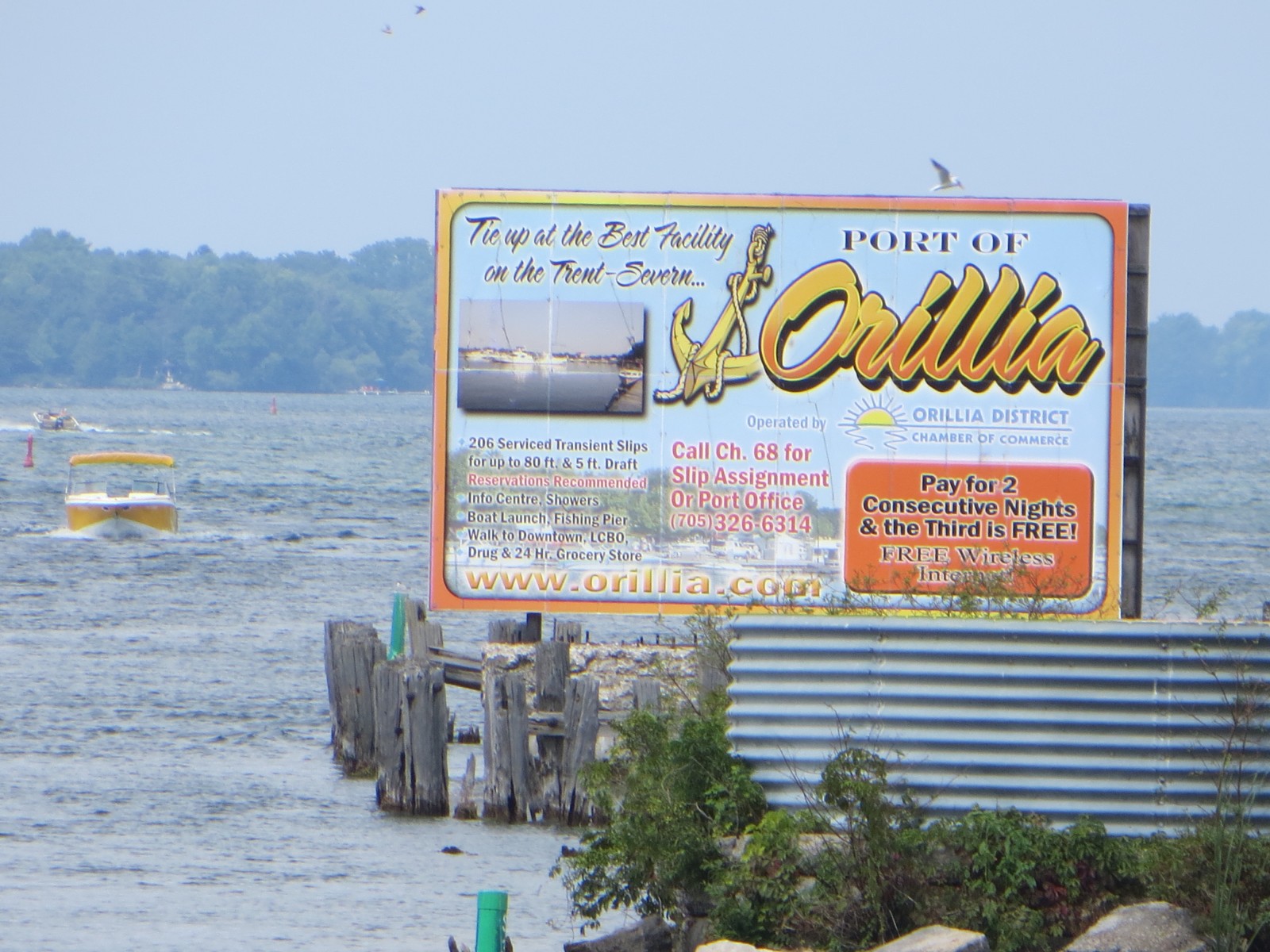
We entered the Narrows – crowded with small marinas on both sides – and passed into Lake Couchiching – took a sharp left to approach Port of Orillia Marina – and Salty started to act up, slipping out of gear in the port engine. We thought this was behind us as she had been performing so well since leaving Manotick. Port of Orillia Marina has nearly new floating docks and was modeled after the Trent Port Marina – with all modern facilities. The approach and dockage is in fairly shallow (4.5 feet depth) water with lots of weeds visible, but we’re on the T-end of a barely occupied dock with a view of the lakeside waterfront and Couchiching Beach Park.